Where the Pavement Quits: Reading the Edges of Public Land
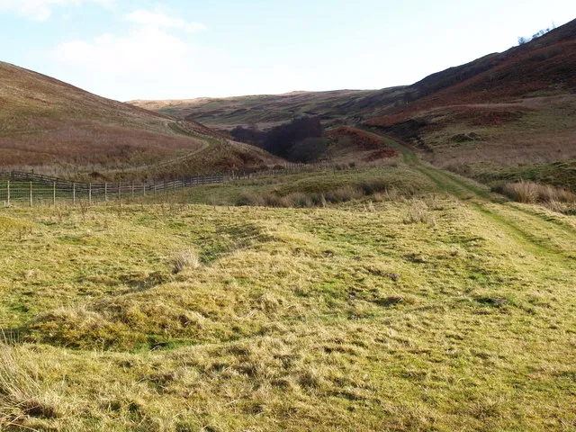
Photo: John Clive Nicholson, CC BY-SA 2.0, via Wikimedia Commons
The best campsite I've ever had in my life was reached by a road that stopped appearing on my phone about four miles back. There was a cattle guard, a gate wired open with baling twine, and a sign so perforated by birdshot you could read maybe half of it. Past that: juniper, a wash, and a flat spot somebody had clearly used before, decades of it, without leaving much more than a fire ring.
That's the edge. Not wilderness, not a park, not really a road. It's the seam where pavement gives up and the public's land — all of ours — starts. And it's where a lot of the country's emptiest ground still lives.
The Gate Is Not the Boundary
First thing to unlearn: a gate is about access, not ownership. A closed gate on public land usually means livestock, a season, or a road that isn't maintained past that point. Sometimes it means "close it behind you." A cattle guard is the same signal — you've crossed into open range, which means cows have the right of way and your dog should probably stay in the truck.
What actually decides where you can drive is a document, and for national forests it's the Motor Vehicle Use Map. It's free, it's ugly, and it's the legal answer. If a route isn't shown as open to your vehicle class on the MVUM, it doesn't matter that there are tire tracks on it.
Reading Land Status Like a Local
You don't need a surveyor's license, but you do need to know who owns the dirt under your boots. A few habits close most of the gap:
- Pull up a land-status layer before you go. OnX, Gaia, and CalTopo all carry ownership overlays. Cross-check against the BLM's surface management maps or the forest's visitor map rather than trusting one app.
- Watch for checkerboard. Where the railroads were granted alternating sections, public and private land interlock in squares a mile on a side. On the ground it looks like nothing at all — until a fence tells you otherwise.
- State trust land is not public land. Arizona and Colorado require permits for recreation on state trust parcels; Utah, New Mexico, and others have their own rules. That land exists to fund schools. Treat it accordingly.
- Private inholdings hide inside everything. A mining claim, a ranch patent from 1911, a cabin subdivision — they're all legal, and all off-limits without permission.
- Wilderness areas are closed to vehicles and bikes. The boundary isn't always signed where you'd expect on a two-track.
If figuring out ownership for a spot takes more than ten minutes, pick a spot with a clearer answer. That's not paranoia; that's how access gets preserved.
Four Kinds of Edge
The BLM two-track. Usually open, usually free, usually quiet. Dispersed camping is generally allowed on BLM land within stay limits — commonly 14 days in a 28-day period, though it varies by field office. Check fire restrictions before you build anything.
The forest boundary road. The MVUM is the referee, and the rules change at the boundary line. A county road can pass straight through private ground into the national forest, and the shoulder along that stretch is not yours to camp on.
The state trust edge. Short version: assume you need a permit and that camping isn't allowed. Verify with the state land office.
The unmarked pullout. Most of these are legitimate — a wide spot on a county right-of-way, a turnaround at the end of a legal spur. Some are somebody's driveway. If there's a fence, a mailbox, a culvert, or a gravel pad, keep moving.
Camping at the Improvised Site
Once you've confirmed you're legal, the real work starts. These places stay open because people treat them well, and they get gated because people don't.
Don't drive past the point where the road has clearly had enough. Rutting a wet two-track in March leaves damage visible for years and gives a district ranger a very easy reason to close a road.
Camp on ground already bare. A used fire ring is a good sign; building a new one next to it is not. In dry country, skip the fire entirely — check the fire restriction stage, which is posted at forest boundaries and online.
Touch nothing that looks like it mattered to someone a thousand years ago. Don't stack rocks, don't move artifacts, don't post exact coordinates of cultural sites online.
Pack out everything, including the things you're sure will decompose. Human waste goes in a cathole six to eight inches deep at least 200 feet from water in most places — but in desert river corridors and popular canyon country, a wag bag is the expectation, and sometimes the requirement.
And stay off the crust. Cryptobiotic soil in the Southwest and alpine tundra in the high country both take decades to recover from a single footprint.
The Payoff, and the Cost
Edges feel wilder than trailheads. There's no kiosk, no permit box, no plan, no one to tell you where to go. The light hits a different way when you found the spot on a map instead of a review.
The trade is that nobody's looking out for you. No cell signal, no ranger station, no marked route. That's what makes it good, and it's also what makes a printed map, extra water for your truck, and a plan left with someone at home non-negotiable.
The gate is a question, not a welcome mat. Answer it correctly and there's a whole country of almost-public ground waiting past the last cattle guard.