Guardrail Country: Turning a Highway Leg Into a Wild One
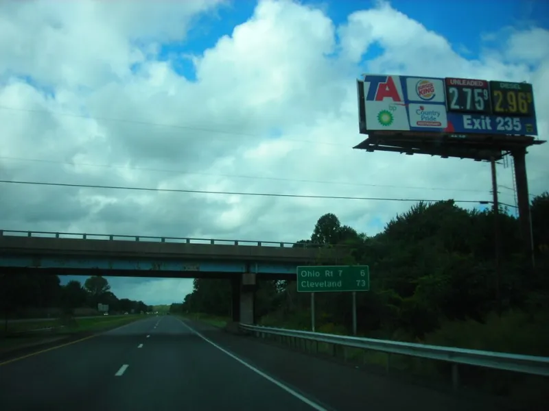
Photo: Dougtone, CC BY-SA 2.0, via Wikimedia Commons
There’s a particular kind of highway trance that sets in around hour three. The cruise control is on, the podcast has gone stale, and the only decisions left are whether to stop at the next rest area or push through to the one after that. Meanwhile, just beyond the guardrail, there’s a decent chance you’re passing public land that never shows up on the gas-station map.
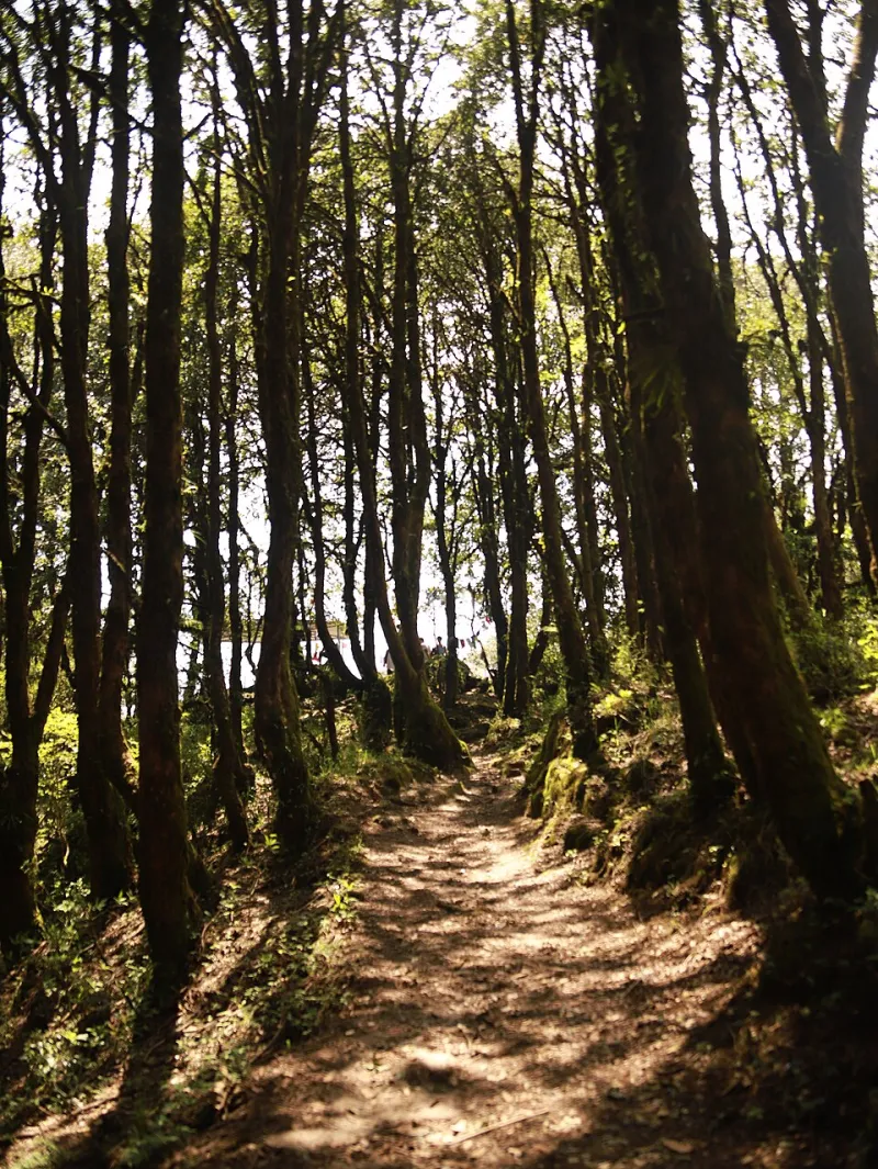
That’s the gap this is about. Not a full backcountry expedition squeezed between two cities, and not another lecture about slowing down. Just a practical habit: treating the interstate as a doorway instead of a hallway. The off-ramp doesn’t have to lead to a truck stop. Sometimes it leads to a half-mile walk under cottonwoods, or a legal pullout where you can sleep without paying for a parking lot with a continental breakfast.
Start With the Green Layer, Not the Blue Line
Navigation apps are built to get you from A to B, which means they flatten the landscape into a ribbon of pavement and predicted traffic. Before a road trip, spend ten minutes with a map that actually shows land status. OnX Offroad, Gaia GPS, or a paper state atlas will all do the job. You’re looking for the green and tan layers — national forest, BLM, state wildlife areas, national grasslands — and then looking for where those shapes touch an exit.
The best candidates usually look boring at first glance. A county road that dead-ends at a forest boundary. A frontage road that parallels the highway for a few miles before turning to gravel. A parcel of BLM land that sits behind a ranch gate but has a public access easement marked on the motor vehicle use map. The trick is not finding the biggest wild place near the highway. It’s finding the smallest legal doorway into one.
The 30-to-90 Rule
For a leg stretch, give yourself a window of 30 to 90 minutes from exit to re-entry. That’s enough time to walk a mile, eat a sandwich on a rock, and remember that your legs have joints. It is not enough time to bushwhack to a summit, ford a creek, or “just see what’s back there.” The point is a reset, not a route.
Practical filter: the access point should be within 10 to 15 minutes of the exit, and you should know what the road does before you commit. Pavement to gravel is fine. Gravel to two-track is fine if the weather has been dry and your vehicle has clearance. Gravel to a locked gate with no signage is a sign to turn around. A quick call to the local ranger district — or a glance at the MVUM — will tell you whether that gate is seasonal, private, or just decorative.
Access Isn’t the Same as Parking
One of the most common mistakes is assuming that public land equals public parking. It doesn’t. A national forest boundary might be a half-mile walk from the nearest safe shoulder. A BLM parcel might have a legal access road that crosses private land with a specific easement. A trailhead might be closed for resource protection or prescribed fire.
Look for the boring details: signs, gates, cattle guards, “no motor vehicles” markers, and the presence or absence of tire tracks. If a road looks freshly graded and there’s a ranch mailbox at the entrance, don’t be the person who assumes it’s public. If you’re unsure, check the land-status layer again and cross-reference with the county assessor or the managing agency. Ten minutes of skepticism beats an hour of trespassing.
The Overnight Math
Turning a highway leg into an overnight is a bigger commitment, but it’s not complicated. The rules depend on the agency. National forests generally allow dispersed camping along many forest roads unless a specific area is closed. BLM land often has generous dispersed camping rules. National parks and many state parks do not. Rest areas are not campgrounds, and Walmart parking lots are not public land, no matter how many RVs are there.
If you’re staying, arrive before dark. Pick a spot that’s already established — a cleared pullout, a fire ring, a patch of bare ground — rather than trampling fresh vegetation. Check fire restrictions. Keep your footprint small. And leave the place quieter than you found it. The measure of a good highway overnight isn’t how remote it felt. It’s whether the next person can’t tell you were there.
A Rest Stop With a View
The contrarian part is simple: the best rest stop on your route probably isn’t the one with the vending machines. It’s the one where you have to put on actual shoes. A 45-minute walk on a forest road does more for highway fatigue than a 45-minute scroll in a plastic chair. You don’t need a summit. You need a trail that goes somewhere for a little while and then comes back.
Keep a small kit in the car for exactly this: walking shoes, a water bottle, a rain shell, a headlamp, a trash bag, and a paper map of the state you’re crossing. That’s it. No elaborate systems. The goal is to make the detour easier than the excuse.
The interstate will always be there, doing its job. But the land beside it is doing a job too — holding a little quiet, a little shade, a little room to move. You just have to take the exit.