When the Road Ends Early: A Shoulder-Season Access Plan
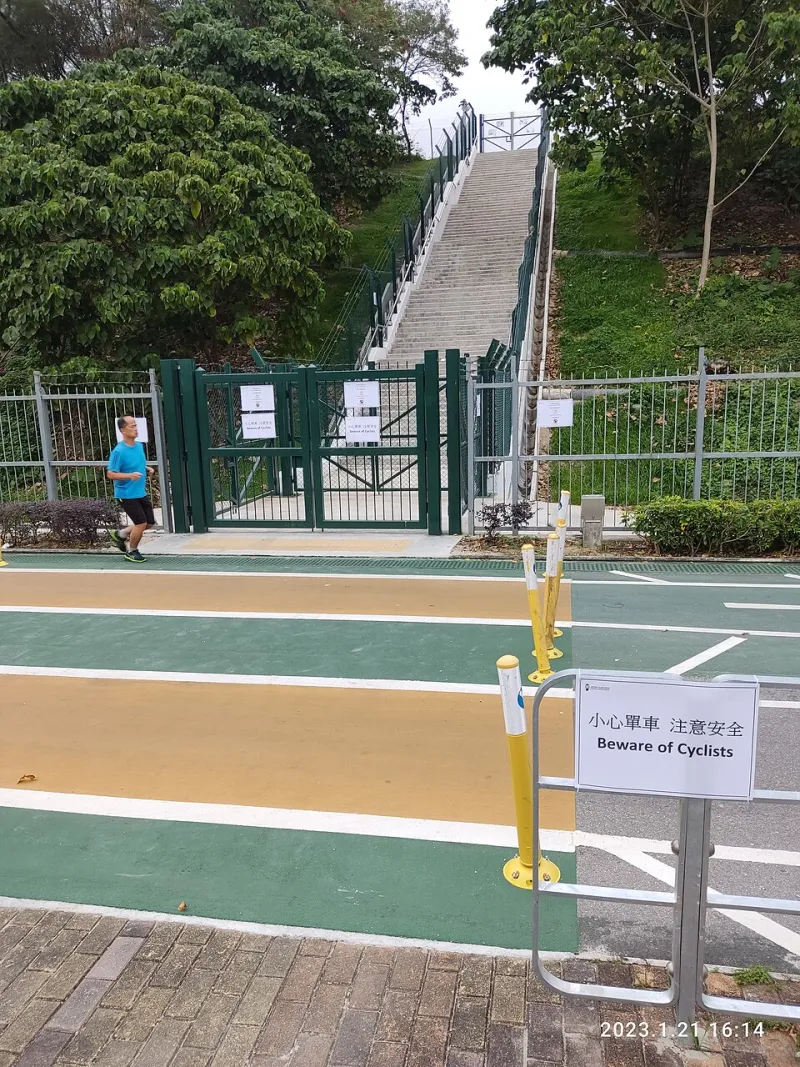
Photo: Norswaiu HFAUDNC, CC BY-SA 4.0, via Wikimedia Commons
Late fall has a way of making liars out of maps. The line on your screen says the road runs all the way to the lake. The sign at the forest boundary says something else entirely: a gate, a padlock, and a date. This is not a rare misfortune. It is the normal rhythm of public land in November. The trick is to expect the gate before you meet it, and to treat the closure as information rather than an insult.
Start With the Agency, Not the App
Crowdsourced pins and last season's trip report are fine for inspiration, not for access. Before a shoulder-season drive, go to the people who own the lock. For national forest land, that means the local ranger district page and any current forest orders. For BLM ground, check the field office page. National parks and state wildlife areas have their own closure notices, sometimes buried under alerts rather than roads.
Look for three different animals: seasonal closures, temporary closures, and road damage. A seasonal gate is usually a calendar thing, tied to snow, mud, or wildlife winter range. A temporary closure might be a washout, a timber operation, or a prescribed burn. Road damage is the sneaky one—the gate may be open, but the bridge is not. If the agency publishes a road report, read it like a weather forecast: useful, imperfect, and worth a phone call to confirm.
Read the Motor Vehicle Use Map Like a Local
The Motor Vehicle Use Map, or MVUM, is the document that tells you which roads are open to which kind of vehicle and when. It is not glamorous. It is also the closest thing to a legal answer you will get from your couch. Download the current version before you lose signal, and pay attention to the legend. A road open to highway-legal vehicles is not the same as a road open to all vehicles. A seasonal date range is not a suggestion.
Cross-check the MVUM against the forest order page. If the two disagree, call the district office. Ask a plain question: is the gate on Forest Road 123 open to the trailhead right now, and if not, where is the last legal parking? Get a name and a date if you can. Rangers would rather answer that than explain why you moved a barricade.
The Three-Question Gate Check
Before you commit, answer three questions out loud. First: where exactly is the gate? Not the general area—the mile marker, the junction, the coordinates. Second: when does it close, and is that date fixed or weather-dependent? Some gates shut on a calendar; others wait for the first big snow or the first mud season. Third: how far is it from the closed gate to the place you actually want to be?
That third number is the one that changes trips. A gate two miles from the trailhead is a walk. A gate eight miles out is a different day entirely, maybe a different trip. Do the math in daylight hours, not in optimism. Late fall gives you less room for error, and a wrong turn in the cold has a way of making the margin disappear.
Build the Walk-In Backup
If the closure turns your drive into a hike, own it. Add the extra mileage to your plan before you leave the house. Pack for the walk back as well as the walk in: headlamp, warm layer, water, and a little food you do not have to cook. If snow is likely, throw snowshoes or traction in the truck. If the road is muddy, do not be the person who tears it up trying to get one mile closer.
Park where it is legal and where you will not block a gate, a turnaround, or a plow. Leave a note on the dash with your plan, and tell someone at home when you expect to be back. Check whether the closure order restricts people on foot as well as vehicles—most seasonal gates do not, but some wildlife closures do. A gate that says closed to motor vehicles is not automatically closed to you. Read the fine print.
Treat the Locked Gate as Beta
A closed gate is telling you something. It says the road is soft, or the snow is deep, or the agency wants the elk to have a quiet winter. That is useful beta. It might also push you toward a lower-elevation trailhead you would never have tried, or a walk that starts with frost on the willows and ends with a view you did not plan for. The best shoulder-season days often start at a gate someone else turned around at.
So build in a Plan B and a Plan C. Know the next trailhead down the road. Know the cutoff time for turning around. Know that the point of the day is not to defeat the lock but to spend time in the wild, even if the windshield stays parked a little farther back. The gate is not the end of the route. It is just the place where the route gets honest.